
One of the Philippines' most active volcanoes, Mount Mayon, erupted on Oct. 30, sending a large column of ash into the sky and prompting authorities to raise the volcanic alert level to 3. There were no immediate reports of deaths or damage in the surrounding communities following the eruption.
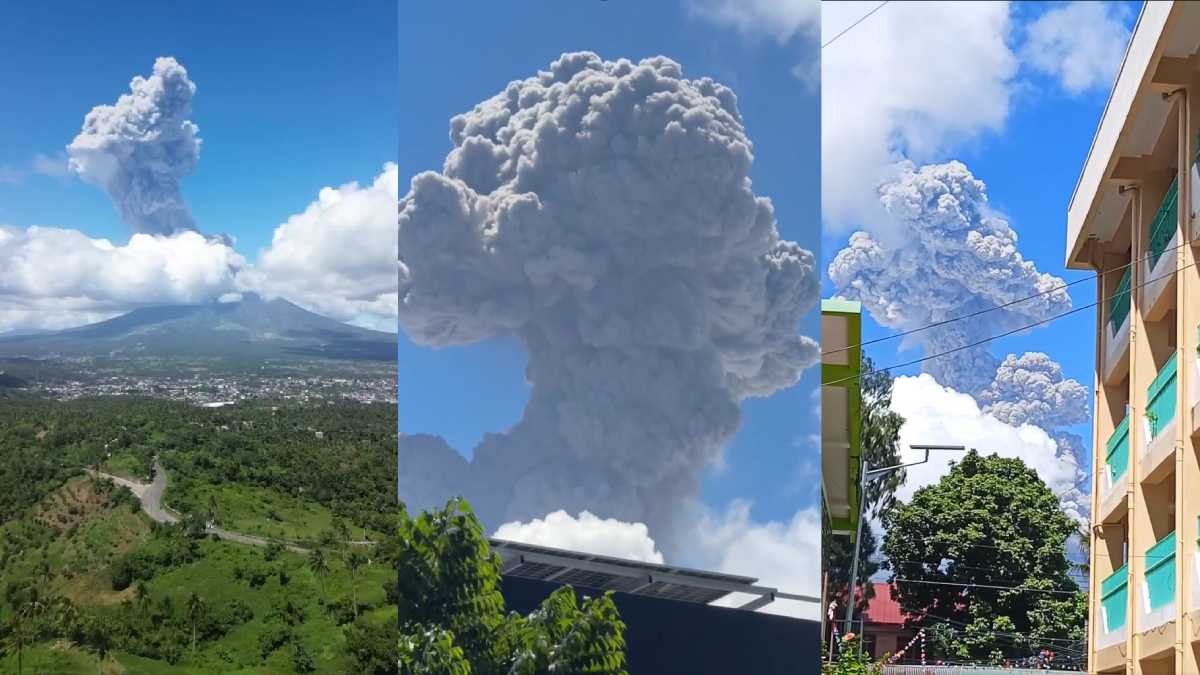
The Philippine Institute of Volcanology and Seismology (PHIVOLCS) recorded the moderately explosive eruption at around 11:53 a.m. The volcano sent a dense ash plume approximately 3,000 metres above its summit crater. The plume was carried towards the west-southwest by prevailing winds, with ashfall expected in nearby communities.
Following the eruption, PHIVOLCS raised the alert status from Level 2 to Level 3, indicating an increased tendency towards a hazardous eruption. The agency recommended the immediate evacuation of people living within the six-kilometre Permanent Danger Zone around the volcano due to the risk of pyroclastic density currents, lava flows, rockfalls and other volcanic hazards.
It also warned residents about possible lahars and sediment-laden water flows along channels draining the volcano. Pilots were advised to avoid flying close to the summit because volcanic ash can pose a danger to aircraft.
The videos emerging from the situation show a cloud that appears like bombs being erupted
Ongoing Volcanic Activity
This latest explosive event follows the beginning of Mayon's current eruptive phase on Jan 6, 2026. PHIVOLCS records show that the activity began with lava-dome formation and collapses that generated pyroclastic density currents. The January activity was also accompanied by an Alert Level 3 warning.
Mayon is a stratovolcano on the island of Luzon, and is known for its near-perfect conical shape. It is among the most active volcanoes in the Philippines and has experienced repeated periods of eruptions and heightened activity.
Philippines and the Pacific Ring of Fire
The Philippines is located along the Pacific Ring of Fire, a region characterised by frequent earthquakes and volcanic activity because of the movement and interaction of tectonic plates. The country is home to several active volcanoes, including Mayon, Taal and Kanlaon.
One of the most destructive volcanic events in the country's recent history was the 1991 eruption of Mount Pinatubo. The eruption produced a massive ash cloud that spread across a wide area, while ashfall, pyroclastic flows and mudflows caused widespread destruction. The disaster resulted in 847 deaths, according to the US Geological Survey, with many fatalities linked to the collapse of roofs under the weight of rain-soaked volcanic ash.






Comments