
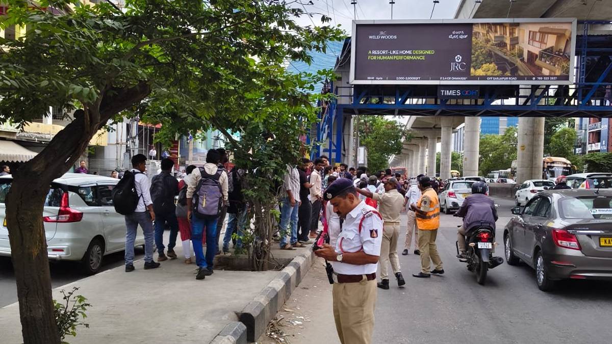
Bengaluru, September 30, 2026: Traffic police in Bengaluru are now using drone technology to monitor and manage traffic more effectively across the city and at high-density junctions where traffic can be heavy during peak hours.
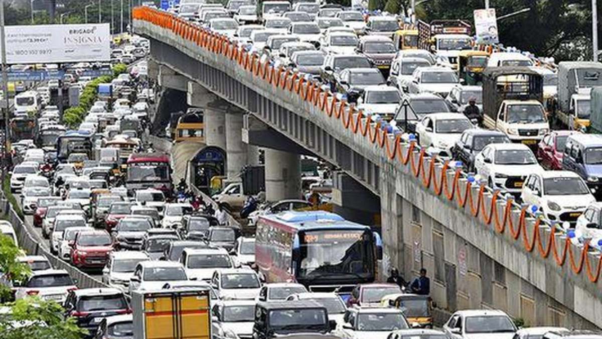
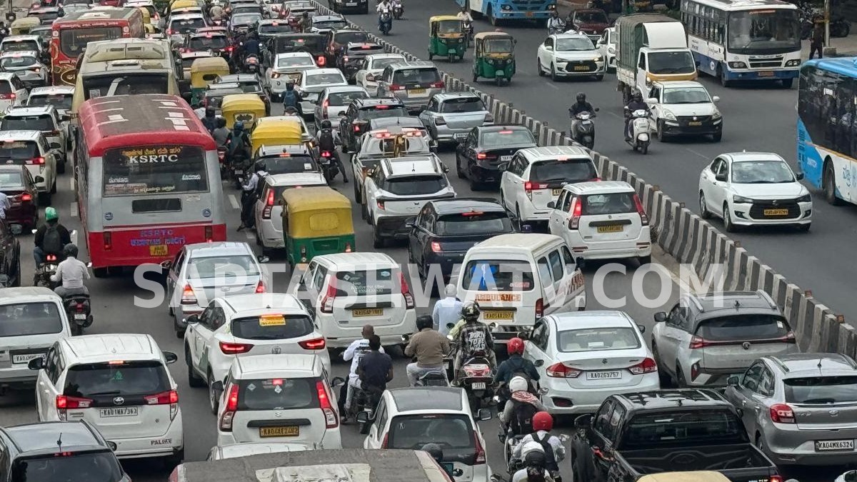
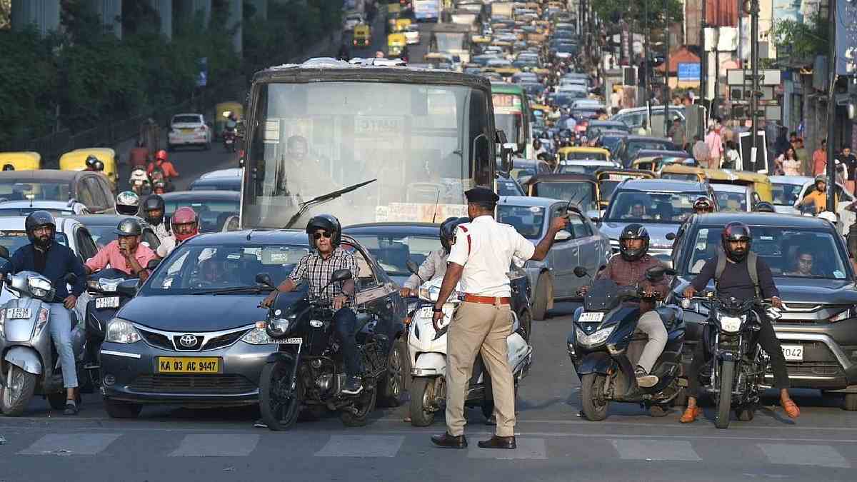
Traffic congestion still affects many areas of Bengaluru commuters and the police are using aerial surveillance to see traffic flow and traffic build-up in real-time.
One drone has been deployed to each of the city’s 10 traffic subdivisions. Drones are being used on roads and interchanges, especially at the morning and evening peak hour when traffic volume is highest.
The aerial view will help traffic workers to better understand congestion patterns beyond the ones seen at ground-level traffic booths and roadside cameras, and can be used to make sense of where congestion is at and how it is happening.
The main locations where drone surveillance is used are Hebbal, Town Hall and Silk Board and other major areas that see a lot of traffic movements for the most part. The technology could help traffic officers see in a more general way how queues, lane movement and traffic congestion across many roads connected to a junction are affecting people at the same time. This information could help officers make quick traffic management decisions when bottlenecks start to be created.
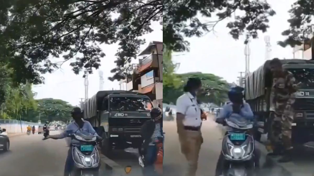
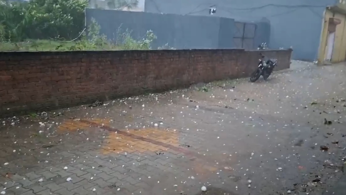
Drones are especially vital in a city like Bengaluru where congestion can quickly spread from one junction to connecting roads. A vehicle breakdown, roadwork, accident, heavy rain or an unusually big traffic flow can lead to traffic backing up over a lengthy distance. Recent rainfall has also made commuters more tired in the city as waterlogging has affected traffic on parts of the road.
Aerial monitoring will allow traffic authorities to observe such situations from above and examine how far a traffic queue has expanded. Instead of having only the information from a few officers at different points on a single point, drone footage could provide a more complete picture of traffic flow on the ground around a major junction. This could help workers identify problems by spotting them, and coordinate traffic enforcement.
Drones are also being used by Joint Commissioner of Police (Traffic) Karthik Reddy for VVIP movements. These occasions often require temporary traffic diversions, route management and coordination across multiple junctions. Aerial surveillance can provide traffic officials with an additional tool to monitor roads along a route and respond to changing traffic conditions.
But there's still traffic in Bengaluru to the street which is very congested due to rapid urban growth, high number of vehicles and constrained infrastructure. There were recent reports of congestion on some of the most modern and fast-growing routes, such as Varthur-Gunjur, where the government is now taking up bottlenecks and coordinating infrastructure works.
Drone surveillance is not meant to replace traffic patrol officers or existing monitoring systems, but rather one more layer of information that can be used for traffic cameras, field officers and other technology-based systems. The aerial view could be especially useful at large intersections where congestion develops in multiple lanes and connects roads at the same time.
The effectiveness of the system for daily commuters will ultimately depend on how fast information gathered through drones translates into action on the ground. From above traffic can be monitored to identify congestion but there may be need of coordinated action by traffic officers, timings of signals, diversions or other strategies to bridge those queues depending on the situation.
Bengaluru’s traffic problems have also become more complex and congestion is influenced by more than one factor at the same time. Rainfall and waterlogging, road conditions, vehicle breakdowns, construction activity and heavy traffic at peak hours have all contributed to delays. Heavy rain, for example, disrupted traffic in several parts of the city and slow movement on important roads.
Drones at high-density junctions therefore represent yet another technology-driven strategy to traffic management in Bengaluru. With drones deployed in 10 traffic subdivisions and surveillance focused on busy areas during peak hours, traffic police will be able to keep track of traffic across the city. With Bengaluru experiencing high traffic demand, aerial surveillance will be useful for traffic monitoring and planning and the data and real-time visibility available from drones will play an important role to help manage traffic.




Comments
Leave a Comment