
Karnataka is unlikely to experience significant rainfall until November 1, even as Cyclone Arnab is rumoured to bring heavy rain to neighbouring Tamil Nadu and Andhra Pradesh. The weather department (IMD) forecasted that predominantly dry weather is expected to continue across the state over the next two days.
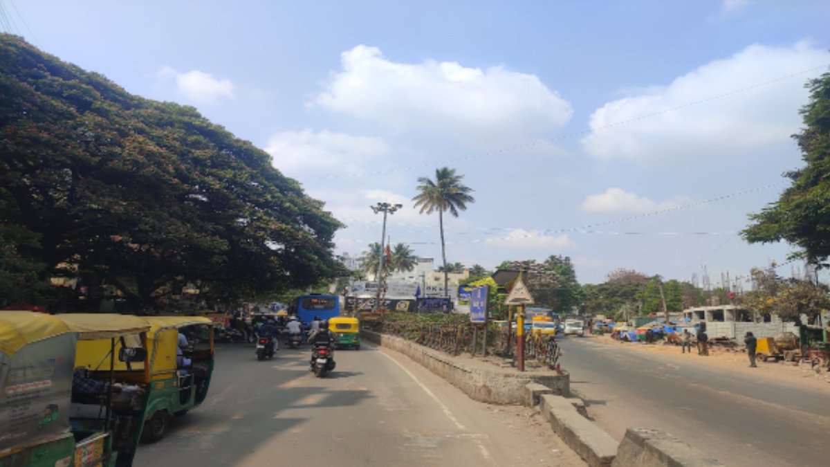
The weather department also predicted that temperatures are likely to stay relatively warm during the day and drop off at night. Residents may experience warmer afternoons and cooler nights in the future as the weather is clearer and northerly winds influence conditions in Karnataka.
According to the IMD forecast, the maximum temperatures could stay around 29-30 degrees Celsius, but the minimum temperature may drop to around 18-19 degrees Celsius. These are likely to produce a big difference between the daytime and nighttime temperatures. Bengaluru and other parts of the state might enjoy very pleasant nights even though the temperatures have increased during the day. But temperatures can vary based on the location, elevation, and local weather conditions. Residents should also take the district forecast for temperature and isolated showers more seriously.
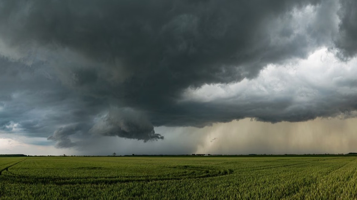

Why is Karnataka unlikely to receive rain?
N. Puviyarasan, director of the India Meteorological Department in Bengaluru, said dry weather was expected to be in the forecast for the next several days in Karnataka. In the state of Karnataka, many areas were affected by a cyclonic circulation over the Arabian Sea in the past, he said, in the southern Kerala coast and Gulf of Mannar region. It has now shifted into Tamil Nadu and has been combined with the larger weather system of Cyclone Arnab.
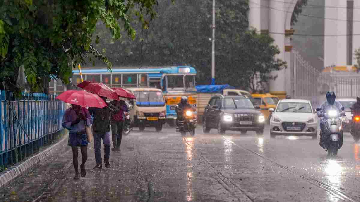
The change in the weather system has reduced the likelihood of rainfall over Karnataka in the near future. While neighbouring Tamil Nadu and Andhra Pradesh might experience heavy rainfall due to the developing weather condition, Karnataka is expected to remain largely dry. There is no significant rainfall forecast for the state until November 1, IMD said.
The difference in weather across the neighbouring states shows how the motion of cyclonic systems and wind patterns can affect the distribution of rainfall in southern India. In the event that one state experiences intense rainfall, the rest of the region may not get much or nothing, depending on the region and the strength of the weather system.

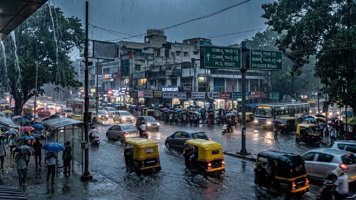
Clear Skies to Bring Cooler Nights
The weather department has also emphasised that clear skies and north-west winds will have an impact on temperature change. With cloud cover likely to be scarce in many areas, the afternoon temperatures will rise as the sun heats the ground. But after sunset, the lack of extensive cloud cover can mean that heat can escape more easily and the night sky is cooler.
Minimum temperatures throughout Karnataka are predicted to be in the range of 18 to 19 degrees Celsius, though different locations could record different readings. The cooler nights could provide some relief from warm afternoons for those who work early in the morning or spend time outdoors in the evening.
Residents are advised to keep an eye on local weather forecasts, especially in areas where the temperature difference from day to night may be more pronounced. People planning outdoor activities should also take into account warmer afternoon weather and cooling down after sunset.
Karnataka Has A 39% Rainfall Deficit
The latest rainfall figures from the IMD indicate that Karnataka has received less rainfall than usual during the present reporting period. Between October 1 and October 26, the state recorded 70.3 millimetres of rainfall, compared with the normal expected rainfall of 115.2 millimetres for the same period.
The difference represents a rainfall deficit of approximately 39 per cent. This shortfall comes during the northeast monsoon season, which starts on October 1 and contributes to rainfall in parts of southern India. Lower-than-normal precipitation could affect agricultural activity, soil moisture, and water availability in areas that depend on seasonal rainfall.
The effect of a rainfall deficit can be very different in different districts depending on the local precipitation, reservoir levels, groundwater levels, and irrigation facilities. Therefore, the statewide rainfall data should not necessarily reflect the exact rainfall situation in every part of Karnataka.
What Residents Can Expect Until November 1
For now, the IMD forecast is that most of Karnataka will be dry until November 1, with maximum temperatures of around 29 to 30 degrees Celsius and minimum temperatures of approximately 18 to 19 degrees Celsius. The absence of widespread rainfall may allow for improved travel and outdoor activities for residents, but they should keep track of official forecasts.
Meanwhile, the rainfall activity reported in Tamil Nadu and Andhra Pradesh will remain an important aspect for monitoring as Cyclone Arnab and its associated weather system evolve. If the system changes its movement, future forecasts for southern India may be affected.
The outlook for Karnataka is dry, with warmer days and cooler nights in the near future, with the state recording a 39 per cent rainfall deficit between October 1 and October 26. Further updates from the meteorological department will be of critical importance to determine whether the weather situation will improve as the season progresses.






Comments