Tropical Storm Karina has become the latest weather system in the Eastern Pacific Ocean and has had meteorologists keeping a close eye on it as the storm is now a topic of interest to Southern California.
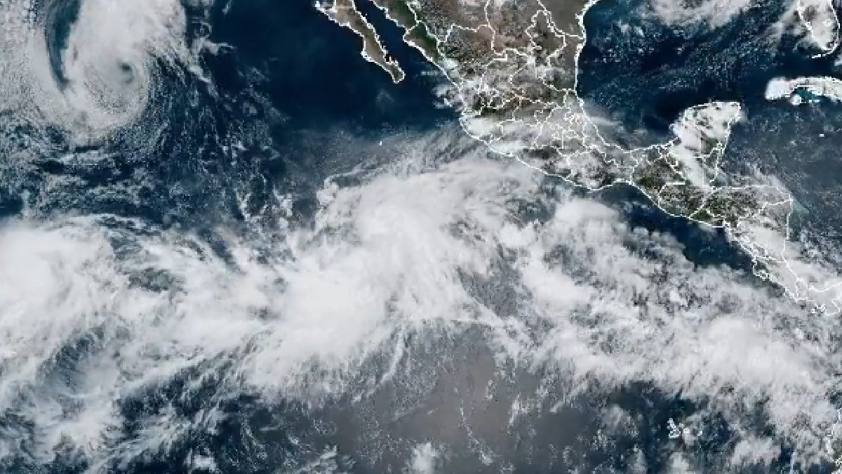
While the storm is still far offshore, recent changes in forecast models have made forecasters closely track its path and strength. Although it’s still too early to know how much impact Karina will have on land, the threat of significant weather impacts in parts of California has brought residents, emergency officials, and weather experts together, and there’s a lot of concern.
Karina developed over warm Pacific waters during an active period of the eastern Pacific hurricane season. The high ocean temperatures and the good atmosphere have allowed the system to develop and strengthen as a tropical storm, and as it moves through the Pacific, forecasters are examining numerous computer models to understand its future path. Some recent predictions indicate that Karina may come further north and end up closer to the Baja California Peninsula and Southern California.
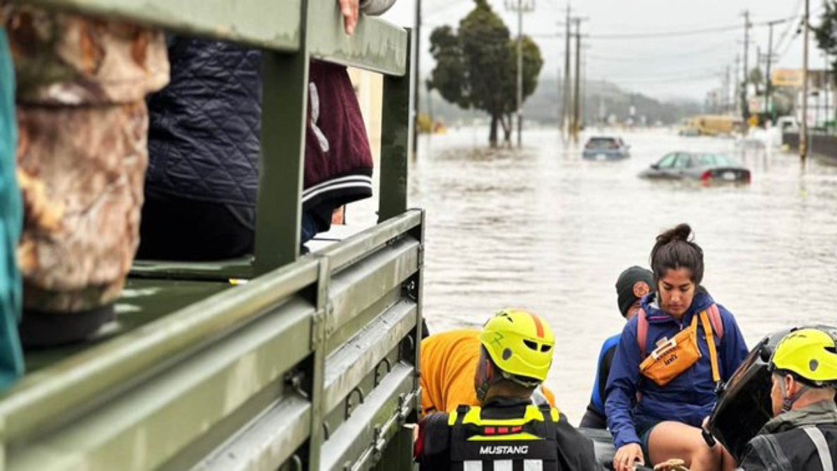
The main worry with Karina is not exactly the storm’s centre making landfall but rather the deep tropical moisture being transferred northward. And even if the storm weakens prior to its arrival at the region, its remnants could bring widespread rainfall along much of the coast of Southern California, weather experts say, and could be a threat. That has actually happened in the past when tropical systems from the eastern Pacific have collided with weather patterns along the West Coast, resulting in heavy downpours, flash flooding, and travel disruptions.
Southern California is most susceptible to sudden flooding, however, when tropical moisture combines with mountainous terrain and urbanisation in an area that is already in distress. And those areas that have experienced wildfires recently could face increased mudslides and debris flows in the event of heavy rain. Emergency management officials are closely monitoring the situation and telling residents that they need to keep an eye on things and be updated through official forecasts, experts say.

In addition to torrential rain, Karina could develop dangerous ocean conditions along the Southern California coastline. Large swells resulting from the storm will lead to heavy surf, strong rip currents, and dangerous conditions for swimmers, surfers, and boaters. These effects can be felt by coastal communities several days before a tropical system is near land. Beachgoers should keep in mind all the local advisories as the storm moves on.
However, forecasters also recognise the uncertainty of Karina's future. Forecasts for tropical cyclones get more and more uncertain as you get further into the future, and even small shifts in the steering patterns in the atmosphere can dramatically alter the course of a storm and its path. Some models still keep the system offshore and only have effects such as rising surf and cloud cover to worry about. Other models predict higher tropical moisture production on the coast and thus widespread rainfall in parts of Southern California and neighbouring states.
The developing situation takes place at a time when climate scientists have found warmer-than-average ocean temperatures in some parts of the Pacific. Warmer waters can provide more energy for tropical systems, and storms can persist longer than expected. While authorities caution against concluding about one storm at a time, climate patterns will change, and tropical cyclones will change in the future.
For now, residents of Southern California are encouraged to monitor what weather agencies are telling us and not to rely on early model predictions on social media. Over the next few hours, forecast confidence should increase as Karina becomes clearer. Whether the storm remains offshore or sends a lot of moisture toward the coast, meteorologists expect Tropical Storm Karina to be a weather system for the rest of the week.