A 10,000km-long rain cloud system stretching from India to South Korea has caught the attention of meteorologists and weather enthusiasts alike who believe it could be associated with favorable weather for an active monsoon in many parts of Asia.
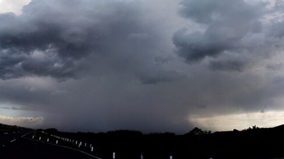
Satellite images of the massive cloud band have gone viral on social media and are spreading in the world as one of the most popular rain clouds of the world with rain patterns in the region.
Cloud formation is widespread over the Asian continent and covers much of the Indian Ocean, Bay of Bengal, Southeast Asia, eastern China, and the Korean Peninsula. Large cloud bands are usually associated with large weather systems that carry moisture thousands of kilometres.
The scientists explained that cloud formations are often associated with monsoon circulations, low-pressure systems, and atmospheric convergence zones. This is why in the monsoon season, warm, moisture-laden winds from the ocean intermingle with regional weather systems which results in a large amount of cloud cover and rainfall throughout the world.
For India, the appearance of such an extensive cloud band has been of great optimism for the continued healthy monsoon conditions. The southwest monsoon is still one of the country’s most important weather systems, accounting for almost 70 percent of India’s annual rainfall and supporting agriculture, water resources, hydroelectric power generation, and groundwater replenishment.
A strong monsoon is especially important for India’s agricultural sector. In fact, millions of farmers depend on seasonal rainfall for growing crops like rice, cotton, sugarcane, maize, pulses, and oilseeds. Good rainfall boosts crop yields, fills reservoirs, and provides sufficient irrigation for kharif and the next rabi crops.
Water availability also benefits from sustained monsoon activity. Reservoirs, rivers, lakes, and groundwater reserves depend heavily on seasonal rainfall. Healthy storage levels contribute to drinking water supplies, industrial needs, electricity generation through hydropower, and long-term water security in many states.
But weather experts stress that the existence of a big cloud band alone does not guarantee above-normal rainfall everywhere. Rainfall distribution depends on a number of factors that are involved, including the movement of low-pressure systems, sea surface temperatures, the extent of upper air circulation, local topography, and the strength of the monsoon trough.
Big cloud formations can also lead to uneven rainfall patterns. Heavy to very heavy precipitation may be experienced in some areas but relatively lighter showers may occur for others depending on how the weather system develops over the next few days.
The Bay of Bengal continues to play a significant role in India’s monsoon dynamics. Low-pressure systems in the bay often move inland, bringing widespread rainfall to eastern, central, and northern parts of the country. Similar atmospheric interactions influence rainfall in Bangladesh, Myanmar, Thailand, Vietnam, China, and the Korean Peninsula.
The enormous cloud system also speaks to the interconnectivity of Asian weather. Atmospheric circulation over one part of the continent often influences weather thousands of kilometres away, illustrating how moisture transport and large-scale wind patterns shape regional climate.
Climate scientists say that satellite technology has greatly improved monitoring of those weather systems. Today’s weather satellites are able to regularly record high-resolution images of clouds, moisture levels, storm development, and rainfall intensity. These findings help to improve weather forecasts and to provide early warning of heavy rainfall, floods, and severe storms.
Experts also note that climate variability continues to shape seasonal weather patterns. Increasing global temperatures have led to more frequent extreme rainfall events in many areas, making accurate forecasting increasingly important for disaster preparedness and agricultural planning.
Government agencies continue to monitor monsoon progress closely through satellite data, Doppler weather radars, automated weather stations, and numerical weather prediction models. Regular forecasts help state governments, farmers, disaster management authorities, and the public prepare for changing weather conditions.
The people living in areas forecast to receive heavy rainfall are advised to stay updated on official weather bulletins and follow local advisories. In areas where heavy rain is expected, urban flooding, waterlogging, traffic disruptions, and landslides are likely to occur in vulnerable areas during heavy rains.
The 10,000km-long cloud band is a reminder of the huge scale of Earth’s atmospheric systems. This has encouraged hope for favorable monsoon conditions in India, but meteorologists stress that rainfall forecasts should continue to rely on detailed scientific analysis rather than just satellite imagery.
As the monsoon season progresses, weather experts will continue to monitor evolving atmospheric conditions to study how the massive cloud formation affects rainfall in India and neighboring countries. With agriculture, water resources, and millions of livelihoods dependent on seasonal rains, every major weather development is closely monitored.