A diplomatic exchange at a foreign policy seminar in Bangladesh has drawn large attention after an Indian diplomat objected to the display of a map that incorrectly depicted Jammu and Kashmir as part of Pakistan.
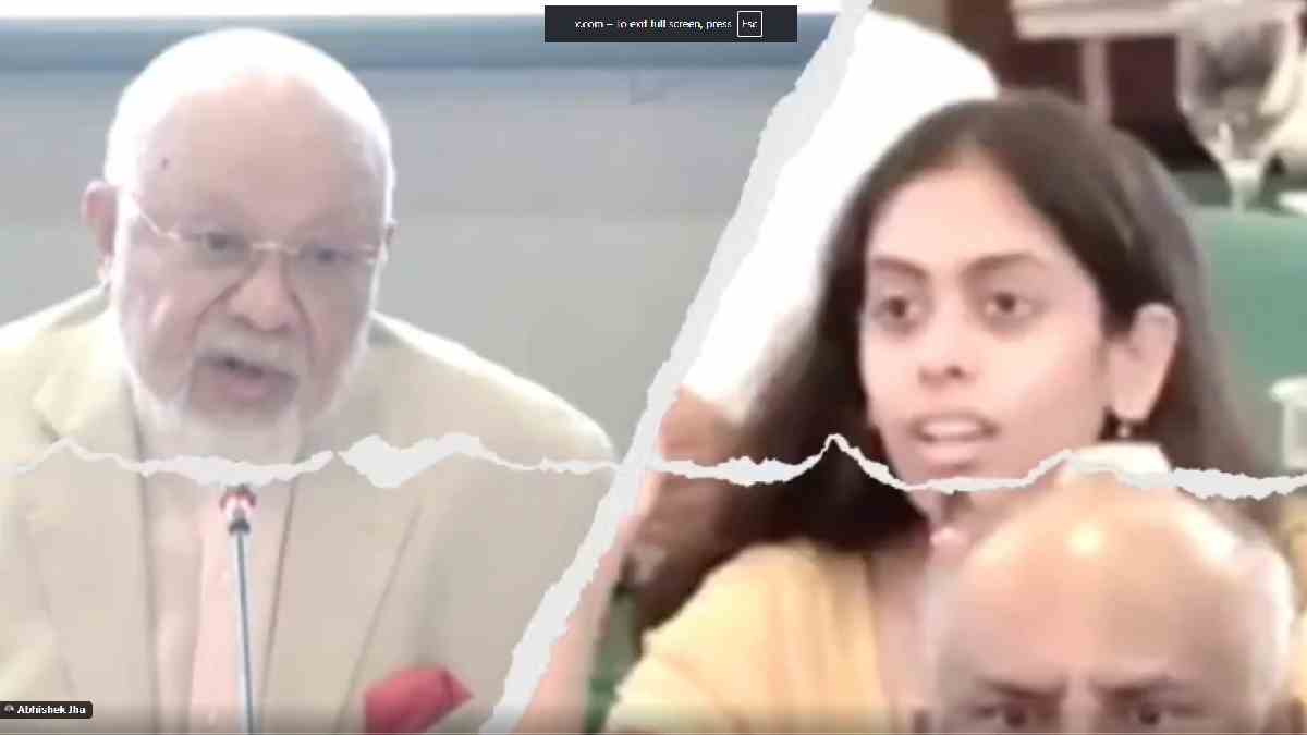
The incident took place during a seminar organized by the Bangladesh Institute of International and Strategic Studies (BIISS), a leading foreign policy think tank in Dhaka. A map was shown in the seminar that depicted Jammu and Kashmir as part of Pakistan.
Pooja Kumja Jha, India's second secretary, who was at the meeting, immediately raised objections. She said the map did not represent India's position, and she said the issue must be taken up in the discussion.
As for the concern, keynote speaker Tariq A. Karim, former Bangladeshi diplomat, said that the map was used only to represent the presentation and was not meant to represent internationally recognized or official political boundaries.
Despite this clarification, it underscored India’s consistent stance on Jammu and Kashmir: that the Union Territory of Jammu and Kashmir is an integral and inseparable part of India. Indian governments have always been firm on this position and have consistently opposed any representation that contravenes India’s official maps.
The interaction was civil and professional. Pooja Kumja Jha handled the matter with diplomatic restraint and expressed India’s position firmly. A social media post-mortem of her intervention has been highly appreciated by several people, and also mentioned that while it showed a good example of vigilant diplomacy and professional conduct.
The episode also highlights the sensitivity of map depictions in international conferences and academic conversations. Such images often attract governments’ attention as maps have political and diplomatic significance beyond the expressivity of their depiction.
India’s Second Secretary at the Indian High Commission in Dhaka, Puja Jha, raised an immediate objection after a map shown during a foreign policy seminar in Bangladesh depicted Jammu & Kashmir as part of Pakistan.
— Aditya Raj Kaul (@AdityaRajKaul) July 10, 2026
She stated that Jammu & Kashmir is an integral and inalienable… pic.twitter.com/a4b2IV8ZhA
India has always reminded that official maps should accurately represent its territorial boundaries. Similar objections have been raised by Indian diplomats in the past whenever maps or publications have portrayed Jammu and Kashmir in a manner that is not consistent with India's official position.
After the clarification, the seminar continued, but the brief exchange was one of the most talked about moments from the event, a reflection of the importance that both countries place on diplomatic protocol and territorial issues.