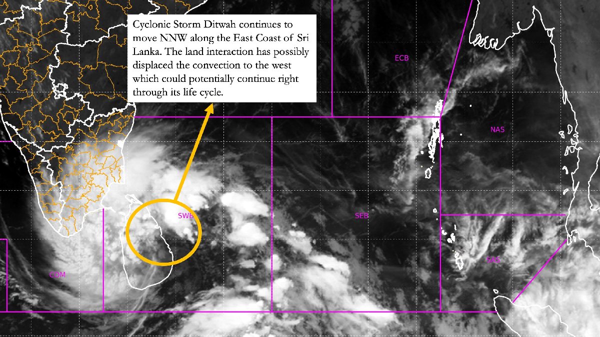
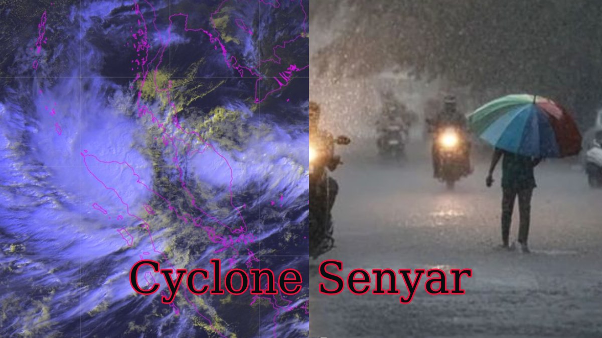
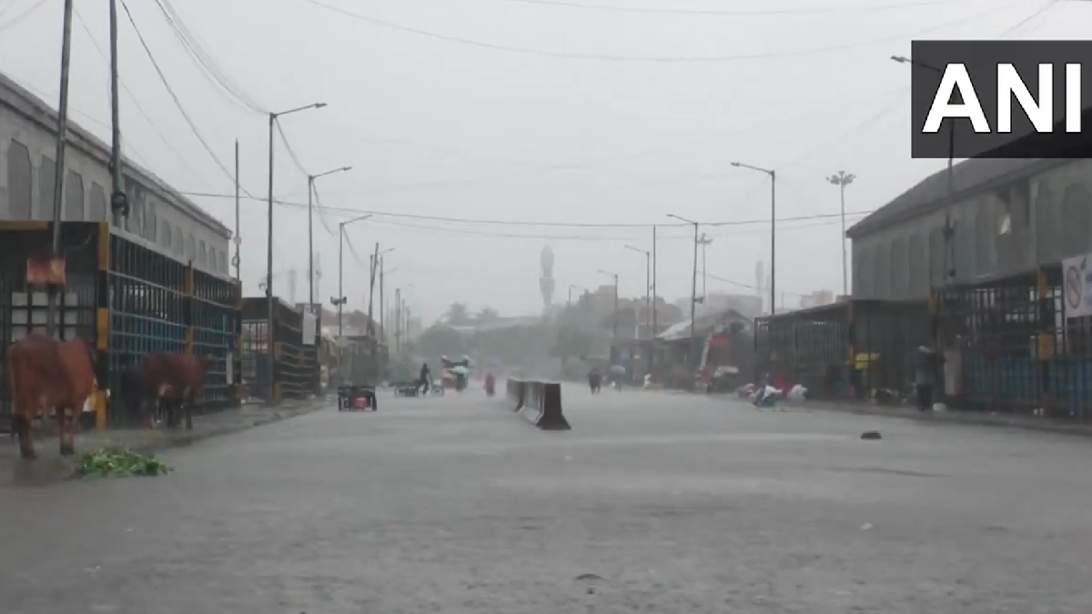
A severe weather alert has gripped South India as the cyclonic storm 'Ditwah' intensifies and moves closer to the mainland coast. The system, currently positioned over coastal Sri Lanka and the adjoining southwest Bay of Bengal, is threatening to bring extremely heavy rainfall, strong gales, and the risk of widespread flooding across multiple southern states.
Forecast and Landfall Expectation
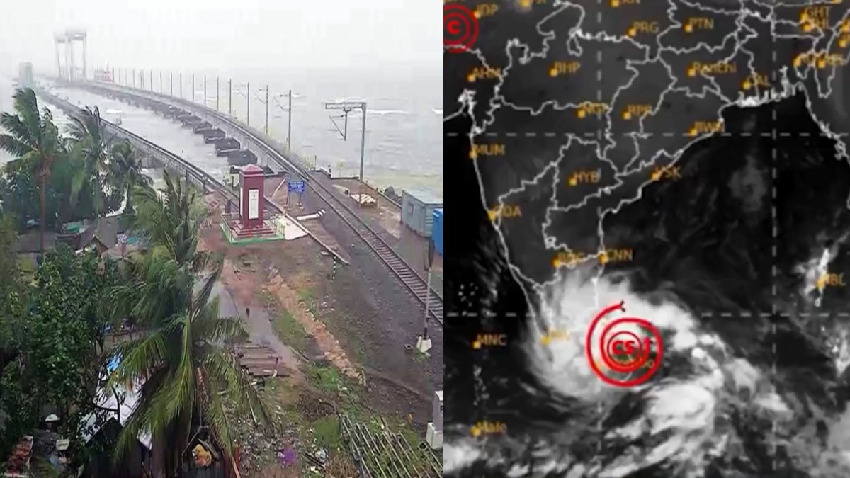
The India Meteorological Department (IMD) has forecast that Cyclone Ditwah will continue moving in a north-northwestward direction. It is expected to reach near the North Tamil Nadu, Puducherry, and adjoining South Andhra Pradesh coasts by the early morning of Sunday, November 30, 2025.
The cyclone, named ‘Ditwah’ (a name proposed by Yemen), is generating significant wind speeds, which are expected to reach 60–80 kmph, gusting up to 90 kmph, along and off the North Tamil Nadu and Puducherry coasts until November 30 morning.
Red and Orange Alerts for Southern Coast
The primary threat from Cyclone Ditwah is the torrential rainfall, which could lead to localized urban flooding and flash-flood-like situations in vulnerable hilly areas.
The IMD has issued various warnings valid through December 1:
| Alert Level | Affected States/Union Territories | Key Impact Districts |
| Red Alert (Take Action) | Tamil Nadu & Puducherry | Tiruvarur, Nagapattinam, Mayiladuthurai, Cuddalore, Villuppuram, Chengalpattu, and Puducherry. These areas are warned of extremely heavy rainfall (over 204 mm) on November 29 and 30. |
| Red Alert (Take Action) | South Coastal Andhra Pradesh & Rayalaseema | Nellore, Tirupati, Annamayya, and Chittoor districts are expected to face extremely heavy rainfall on November 30. |
| Orange Alert (Be Prepared) | Tamil Nadu, Puducherry, and Andhra Pradesh | Chennai, Tiruvallur, Kancheepuram, Ranipet, and Prakasam. These districts are forecasted to receive heavy to very heavy rainfall (11 cm to 20 cm). |
| Yellow Alert (Be Updated) | Kerala and South Interior Karnataka | Widespread rainfall and isolated heavy spells are forecast in these regions. |
Preparedness and Safety Measures
State governments and disaster management authorities have swung into action:
- Education: Holidays have been declared for schools and colleges in several districts of Tamil Nadu (including Thanjavur, Tiruvarur, Nagapattinam, and Chennai) and Puducherry.
- Water Management: Water discharge from major reservoirs serving Chennai, such as Poondi, Chembarambakkam, and Red Hills, has been increased preemptively to manage the expected massive inflow of rain.
- Response Teams: The National Disaster Response Force (NDRF) has deployed several teams to vulnerable coastal districts in Tamil Nadu and Puducherry for rescue and relief operations.
- Advisory: Fishermen have been strictly advised not to venture into the southwest Bay of Bengal, the Gulf of Mannar, and along the affected coastlines until the conditions subside on December 1. Residents in coastal and low-lying areas are urged to avoid standing near lamp posts, old buildings, or under trees, and to strictly follow official advisories.
The cyclonic system previously crossed Sri Lanka, causing widespread damage, flooding, and a high number of casualties, with reports of over 60 fatalities. India has launched 'Operation Sagar Bandhu' to deliver humanitarian aid and relief supplies to its maritime neighbour.


