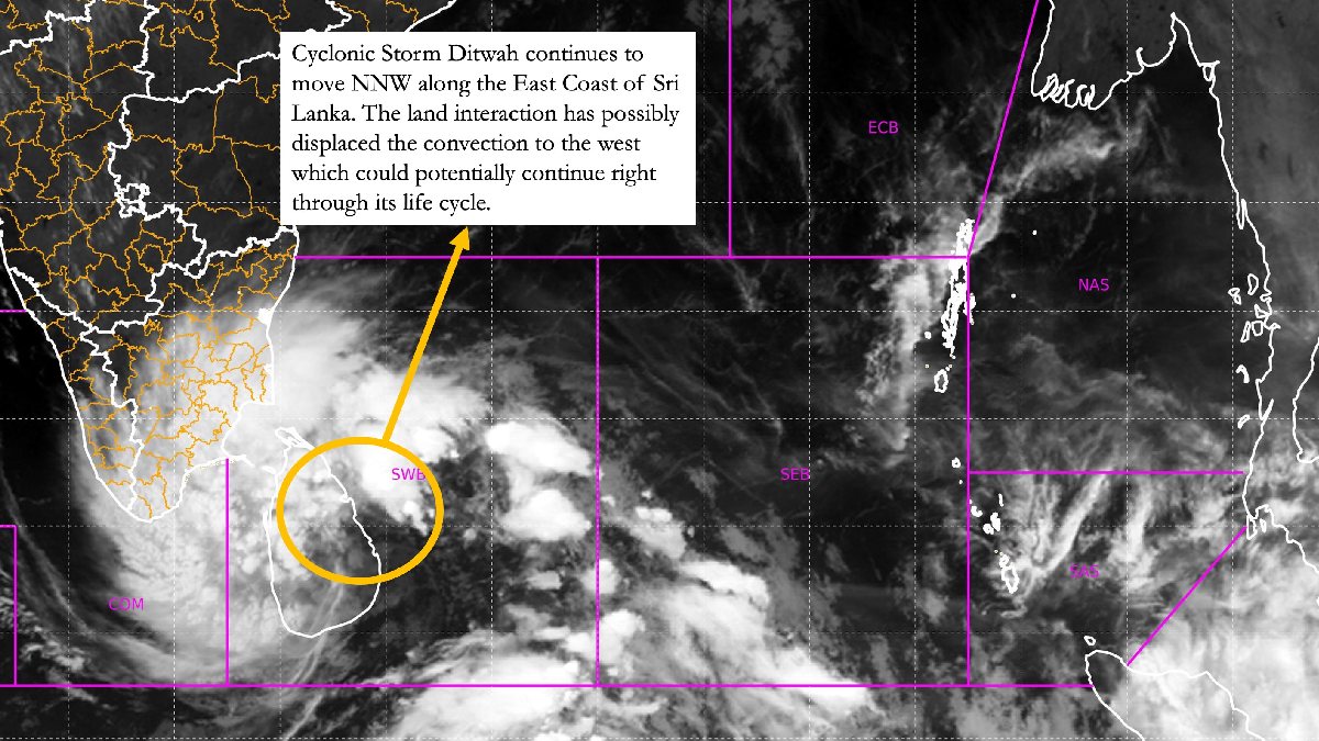
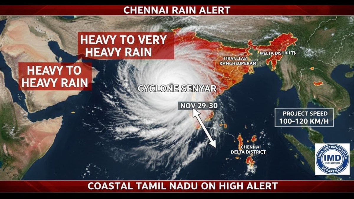
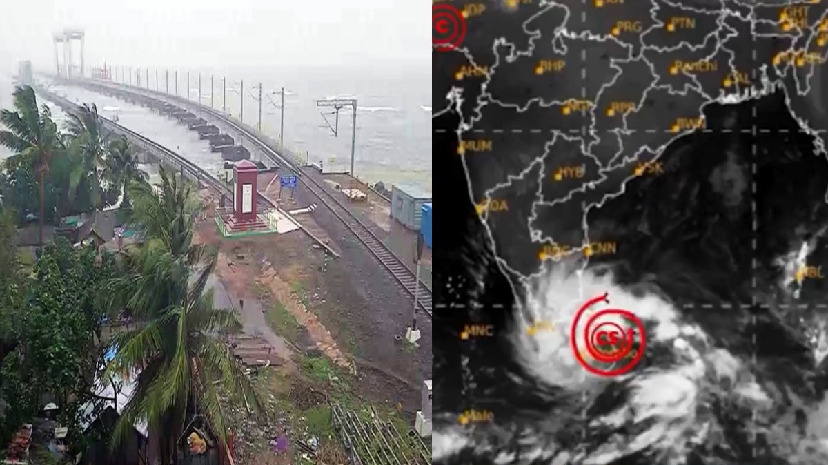
The India Meteorological Department (IMD) has issued a major weather alert for the South Indian and island regions, as the developing weather system over the Bay of Bengal is set to intensify into a cyclonic storm named 'Senyar' within the next 48 hours. This will be the second cyclonic storm of the post-monsoon season in the region.
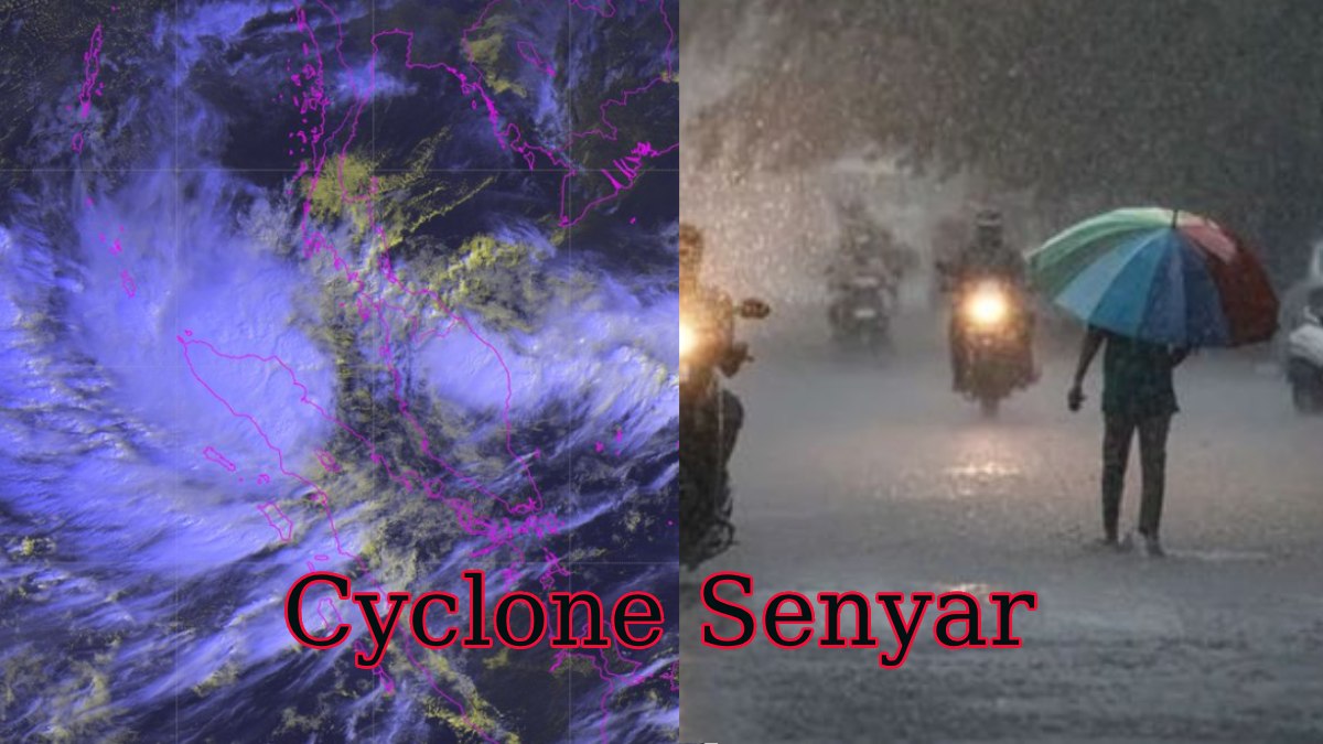
The system, currently tracked as a low-pressure area over the southwest Bay of Bengal, is moving west-northwestwards and is expected to become a full-fledged cyclonic storm by November 26 or 27. The name 'Senyar' (meaning 'lion'), was contributed by the United Arab Emirates (UAE).
Heavy Rainfall Warning: Six States/Regions on High Alert
The IMD has forecast heavy to very heavy rainfall across a total of six states and union territories for the next 48 to 72 hours, with severe impact expected on coastal areas.
| State/Region | Rainfall Forecast | Key Impact Period |
| Tamil Nadu | Heavy to Very Heavy Rainfall (Very heavy likely for coastal/delta districts) | November 25 to November 30 (Peak: Nov 28-30) |
| Andaman & Nicobar Islands | Heavy to Very Heavy Rainfall, accompanied by squally winds | November 25 to November 29 |
| Kerala & Mahe | Heavy Rainfall in isolated places, strong winds | November 25 to November 27 |
| Coastal Andhra Pradesh & Yanam | Rainfall intensifying; heavy to very heavy likely | November 29 to December 1 |
| Lakshadweep | Heavy Rain and rough sea conditions | November 25 to November 27 |
| Rayalaseema | Rainfall activity expected to increase | November 28 to December 1 |
Authorities in these regions, particularly in Tamil Nadu, have already declared school and college holidays in several coastal and delta districts and have urged residents in low-lying areas to remain vigilant.
Current Status and Track Uncertainty
The weather system is currently consolidating over the southeast Bay of Bengal. While it is expected to intensify rapidly, the exact path and potential landfall point for Cyclone Senyar remain uncertain.
- Forecast Scenarios: Weather models are presenting two possible trajectories: one that curves towards the Tamil Nadu-Andhra Pradesh coast around November 29-30, and another that curves northward, keeping the storm offshore.
- Fishermen Warning: Fishermen have been strictly advised not to venture into the South Andaman Sea, Southeast Bay of Bengal, and Southwest Bay of Bengal until at least November 30 due to extremely rough sea conditions and high waves.
The IMD has urged coastal residents and disaster management teams to be fully prepared and to follow official advisories closely as the track is expected to be clearer within the next 48 hours.


