
A low-pressure area over the east-central and adjoining southeast Bay of Bengal is likely to intensify into a cyclonic storm by the morning of October 26, 2026, the India Meteorological Department (IMD) said. The developing weather system is expected to move west-northwest towards north Andhra Pradesh and neighbouring south Odisha coasts in the next two days.
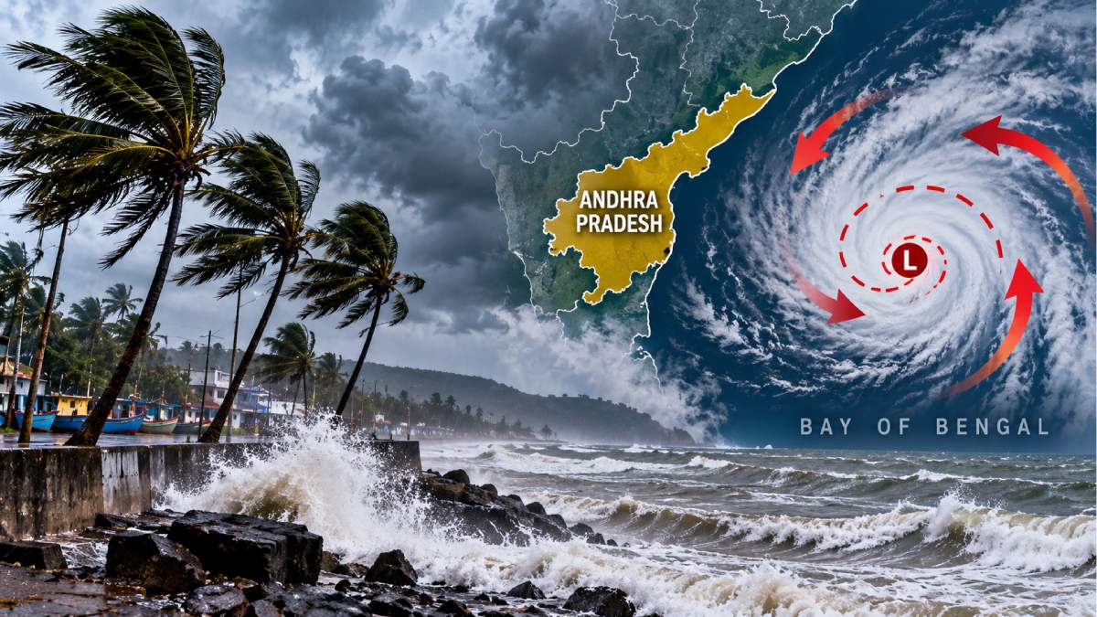
The forecast has put coastal areas on alert for heavy rainfall, thunderstorms and strong winds as the system approaches.
The IMD is monitoring the system closely and residents in affected districts should also be advised to monitor weather bulletins from the public.
How the Bay of Bengal System Is Expected to Develop
The low pressure area in the east-central and southeast Bay of Bengal formed late in the early hours of October 23 under the influence of an upper air cyclonic circulation.
According to the IMD's forecast, the system could strengthen in stages over the coming days:
- October 24: The system is expected to intensify into a depression.
- October 25: It may strengthen further into a deep depression.
- October 26: It is likely to develop into a cyclonic storm over the west-central Bay of Bengal.
After cyclonic storm intensity, the system is expected to continue moving west-northwestward to the north Andhra Pradesh and neighboring south Odisha coasts. Its movement and strength will depend on changing atmospheric and oceanic conditions.
The formation of cyclones is not yet a certainty and the forecast may change as new observations become available.
Andhra Pradesh on Alert as Heavy Rain Is Forecast
The developing system, along with the ongoing northeast monsoon activity, is expected to bring more rainfall to a few parts of Andhra Pradesh.
Andhra Pradesh State Disaster Management Authority has forecast scattered heavy rainfall over the state in the next few days. Vizianagaram, Manyam, Alluri, Kadapa, Annamayya, Chittoor and Tirupati are among the areas where moderate rainfall accompanied by lightning has been forecast at isolated places.
Other districts, like Visakhapatnam, Konaseema, East Godavari, West Godavari, Krishna, Guntur, Prakasam and Nellore may also experience showers and thunderstorms.
Rainfall recorded on October 22 gave an indication of the intensity of recent weather activity. Alivelumangapuram in Tirupati district received 87.5 mm of rain and Dagadarthi in Nellore district 57.2 mm. Kavali received 53.3 mm and Chittoor Urban 51.5 mm.
Heavy rainfall may cause waterlogging, localized flooding and road transport disruption in low-lying areas and poor drainage.
Odisha Coast also faces possible impact
The north Andhra Pradesh coast and the neighboring south Odisha coast are being closely monitored as potential areas of impact if the system develops as forecast.
The IMD expects rainfall activity to increase over Odisha from October 26, with widespread rainfall and isolated heavy showers possible between October 27 and 29.
Thunderstorms and strong winds could also affect parts of the state. Wind speeds can reach 50 to 60 kmph and gusts up to 70 kmph in some areas, the forecast said.
But authorities have not yet confirmed where or when the system might cross the coast. The track and landfall outlook should become clearer as the system strengthens and moves across the Bay of Bengal.
Fishermen are advised to follow weather warnings.
The developing system is also expected to produce rough sea conditions over parts of the Bay of Bengal. The IMD has warned fishermen to avoid entering the affected areas during some warning periods.
People working along the coast, fishing communities and those engaged in marine activities need to take official advisories and abide by local laws.
Residents should be wary of standing near large hoardings, trees or unstable structures during thunderstorms and strong winds. Farmers in areas expecting heavy rainfall should ensure proper drainage in fields and protect harvested produce.
What Residents Should Watch For Next
The next couple of days will be key to determine if the low pressure area strengthens into a cyclone and how close it moves to the eastern coastline.
Residents of Andhra Pradesh and Odisha should keep track of updates from the IMD and their respective disaster management authorities. Weather forecasts can change as a system develops, so early projections should not be treated as a confirmed landfall warning.
But the main concerns are the possibility of a cyclonic storm on October 26, more rainfall in Andhra Pradesh and an increase in weather activity on the Odisha coast. Further bulletins will also give a better picture of the system’s strength, direction and likely coastal impact.







Comments
Leave a Comment