Pakistan called India's position on the depiction and status of Jammu and Kashmir “baseless” after New Delhi stated that its recent vote at the United Nations was based on the principle of equal-area cartographic representation and was not an endorsement of any specific map or depiction of national boundaries.
The latest exchange adds another chapter to the continuing diplomatic conflicts between India and Pakistan over Jammu and Kashmir. Pakistan’s Ministry of Foreign Affairs issued its response after India’s Ministry of External Affairs spelled out the reasons behind New Delhi’s support for a United Nations General Assembly resolution on better representation of continental landmasses on world maps.
India’s explanation comes just after questions about the implications of its vote on the UN resolution are raised. The resolution proposed to promote a better balanced global cartographic representation of the world map, with a view to the representation of Africa and others.
MEA spokesperson Randhir Jaiswal said India’s support of the resolution was based on the “underlying principle of promoting equal-area cartographic representation.” He stressed that India’s vote should not be interpreted as support for any particular political map or boundary depiction.
According to the Ministry of External Affairs, the resolution is not a declaration of endorsement of any specific map, map projection or representation of national borders. India said that the reason for the vote was to improve the accuracy of maps and the representation of national boundaries of the world on maps and continental landmasses in general.
Jaiswal also said India’s position on its sovereignty and territorial integrity is clear, consistent and non-negotiable. He said the UN resolution was intended to encourage the use of equal-area map projections that preserve the relative sizes of continents and landmasses.
The resolution, titled “Correct the Map: Rebalancing Global Cartographic Representation and Promoting Equitable Representation of the World’s Regions, Particularly Africa,” was adopted on September 4. This addresses some traditional map projections that can distort the relative sizes of continents and countries.
India said the resolution neither adopted nor authenticated any particular world map. New Delhi also said the measure did not address political cartography, disputed territories, international boundaries or place names.
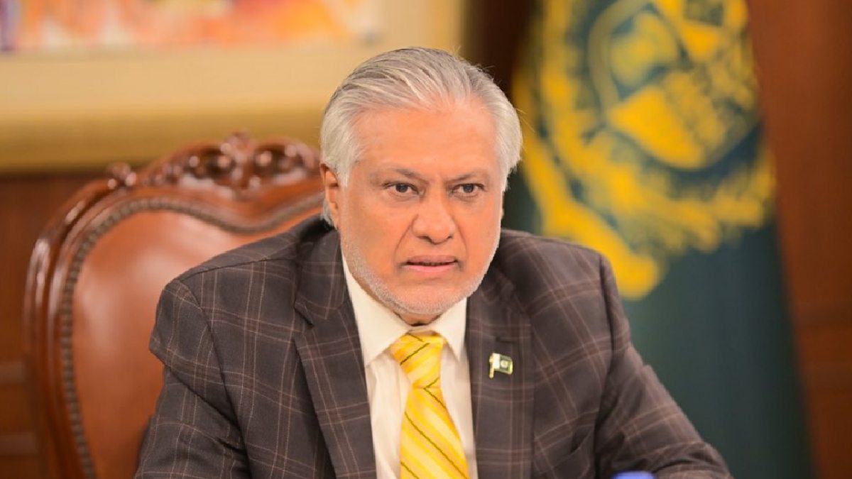
Pakistan, however, rejected India’s claims on Jammu and Kashmir. Pakistani Foreign Ministry spokesman Sajjad Haider Khan said India’s position on Jammu and Kashmir was “baseless” and that Islamabad still views Jammu and Kashmir as a dispute that is recognized as an international one.
Pakistan argued that India’s unilateral actions and claims could not change what Islamabad described as the disputed status of Jammu and Kashmir. Pakistan’s Foreign Ministry also referred to resolutions of the United Nations Security Council while maintaining its long-standing position on the matter.
The final outcome of the dispute should be determined in keeping with the UN Security Council resolutions and the wishes of the Kashmiri people, Pakistan said in a statement. In addition, Pakistan also said that India's maps and sovereignty claims did not affect Pakistan’s stance on the issue.
India has always maintained that Jammu and Kashmir and Ladakh are integral parts of the country. New Delhi has repeatedly rejected Pakistan’s position and has said that matters relating to Jammu and Kashmir are internal affairs.
The current diplomatic dispute shows how even a resolution about global cartographic representation can become entangled in the political battles over territorial claims. While India stressed that its UN vote focused on the technical issue of map projections based on equal-area conditions, Pakistan replied in line with its position on Jammu and Kashmir.
The development is indicative of the continuing sensitivity over maps, borders and territorial depictions in international diplomacy. Cartography is viewed as a technical subject but maps can have political implications when they depict disputed territories or contested boundaries.
As India and Pakistan still have divergent ideas about Jammu and Kashmir, statements from both sides are likely to be closely examined. The UN resolution itself aims to better represent the world’s regions - particularly Africa - but the diplomatic exchange shows how maps can be interwoven with geopolitical disputes.
As of now, India has maintained that its vote at the United Nations should not be interpreted as an endorsement of any particular map or national boundary. Pakistan has rejected India’s arguments and reiterated its own position on Jammu and Kashmir, putting the issue at the center of another diplomatic exchange between the two neighbouring countries.