
Apple Maps is becoming a more useful navigation option for public transport users in India. The Transit feature has been added in the country.
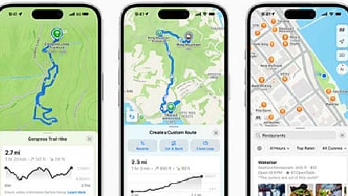
The feature can provide directions to supported buses, metro and trains and information such as connections and departure details. But the availability of these services might vary from city to city and the transport network covered by Apple Maps.
How Does Apple Maps Transit Work
Apple Maps Transit is for people to plan their trips on public transportation. Open Apple Maps on iPhone and enter the destination. If Directions is available for your location, you can use it.


The app can then show the public transport routes. A journey could include walking to a bus stop, taking a bus, taking a metro or train and then walking to the end point.
Passengers can also plan trips based on the time of departure or arrival they like to travel to a destination. In supported sites, Apple Maps can also display transit departure and arrival time information.
What Can Apple Maps Show
Transit offers more than basic directions. Depending on the transport network and data available, Apple Maps can display nearby transit stops, routes, connections and departure information.


For supported services, Apple also provides real-time arrival and departure information. Some transit networks may also show service disruptions or the current location of buses and trains.
This could be beneficial to commuters with a single mapping application to plan their entire journey.
Is Transit Available Across India
The main point for Indian users is that Transit coverage might not be uniform across the country. The availability of the feature will depend on the public transport information Apple has access to for each city and operator.
While Transit has been seen working in India, Apple's official feature-availability information has not yet provided complete confirmation of Transit coverage across the country. This indicates that the rollout may be limited or in the works.
As a result, some users may see public transport routes while others don’t have the same options.
Can Apple Maps Replace Railway Apps
Apple Maps Transit can be useful for navigation, but it is not intended to replace dedicated railway services.
Passengers looking to book tickets, check seat availability, manage reservations or access other railway-specific services will still need to use the relevant official platforms. Apple Maps is primarily useful for finding routes and getting from one location to another.
Apple Maps vs Google Maps
Public transport navigation has already been a familiar feature for Google Maps users in India. The reported expansion of Apple Maps Transit gives iPhone users another option for planning journeys involving public transportation.
For Apple users, having bus, metro and train information integrated into the Maps application could make daily commuting more convenient.
As more transit data is made available and coverage expands, Apple Maps could become a more significant public transport navigation option for commuters across Indian cities.











Comments
Leave a Comment