
Cyclone Murasu intensified over Bay of Bengal and moved towards Andhra Pradesh coast. Weather conditions in several parts of Karnataka are likely to be affected by the cyclone.
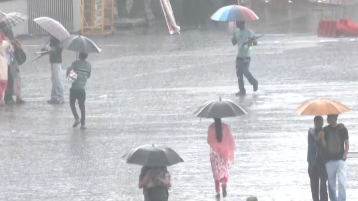
India Meteorological Department (IMD) has forecast rainfall, thunderstorms, lightning and gusty winds in different parts of the state in next two days.
While its main impact will be on Andhra Pradesh coast but its wider weather influence may bring rain to coastal Karnataka, North Interior Karnataka and South Interior Karnataka districts also.
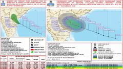
People living in these districts should follow official weather updates and take precautions during heavy rain and thunderstorms.
As per the latest bulletin on cyclone Murasu released on November 3, severe cyclonic storm Murasu was over west-central Bay of Bengal off south Andhra Pradesh coast.
The system was expected to cross south Andhra Pradesh coastline between Nellore and Narsapur (near Ongole) in early hours of November 3. IMD had said that wind speed around 100–110 kmph gusting up to 120 kmph are expected during landfall.


Heavy rainfall and strong winds associated with cyclone have worried people along Andhra Pradesh coast while neighbouring areas too are preparing for change in weather.
Coastal districts in Karnataka are among the areas where rainfall and thunderstorm activity is being monitored. Dakshina Kannada, Udupi and Uttara Kannada districts may rain with isolated heavy falls (isolated heavy falls possible in some places).
Coastal belt may also witness thunderstorms, lightning and gusty winds. People living in low lying areas and those travelling along coastal roads should be alert during intense rain spells.
Fishermen and people involved in marine activities should follow instructions issued by local authorities and weather agencies.
The impact will also be felt in North Interior Karnataka too. Shivamogga, Davanagere, Chitradurga and Tumakuru districts have been included in November 3 rainfall watch by weather reports based on IMD forecast.
Isolated heavy rain may occur in some places while thunderstorms and lightning are possible in other areas. The weather system may bring sudden changes so people should not take for granted that day’s conditions would remain the same all through the day.
South Interior Karnataka is also likely to get rain activity. Bengaluru and its surrounding areas may have partly cloudy sky with spells of rain/thundershowers.
IMD city forecast for Bengaluru says thunderstorms with lightning are likely on November 3 and November 4. Light to moderate showers may occur in different parts of the city. Temporary traffic disruptions may occur especially during rush hours. Drivers should be careful on wet roads and drive avoiding waterlogged stretches.
The rainfall outlook is expected to change over the next few days as Cyclone Murasu weakens after moving inland. Udupi, Uttara Kannada, Shivamogga, Chikkamagaluru and Hassan districts may continue to rain on November 4 and some northern and coastal areas could remain under a rainfall watch also on November 5 too.
Intensity and distribution of rain would differ from district to district depending on movement and weakening of weather system.
Thunderstorms and lightning are among the main issues for residents this week. People should not stand under trees or electric poles or temporary structures when thunderstorms occur; stay away from open fields, water bodies and exposed places if lightning is reported.
Farmers and outdoor workers should be especially careful during sudden changes in weather. Heavy showers in cities can cause slippery roads, poor visibility and localised waterlogging so commuters should allow extra travel time.
The weather situation is showing us how a very strong cyclone over Bay of Bengal can change rainfall patterns beyond its landfall area. Andhra Pradesh will get the most direct impact of Murasu but parts of Karnataka may also get rain, thunderstorms and gusty winds.
People should keep checking IMD district-wise bulletins and follow advisories issued by local administrations (cyclone tracks and rainfall forecasts are changeable). The latest official updates should be treated as the most reliable source for planning travel and outdoor activities since cyclones move and rainfall forecasts change.





Comments