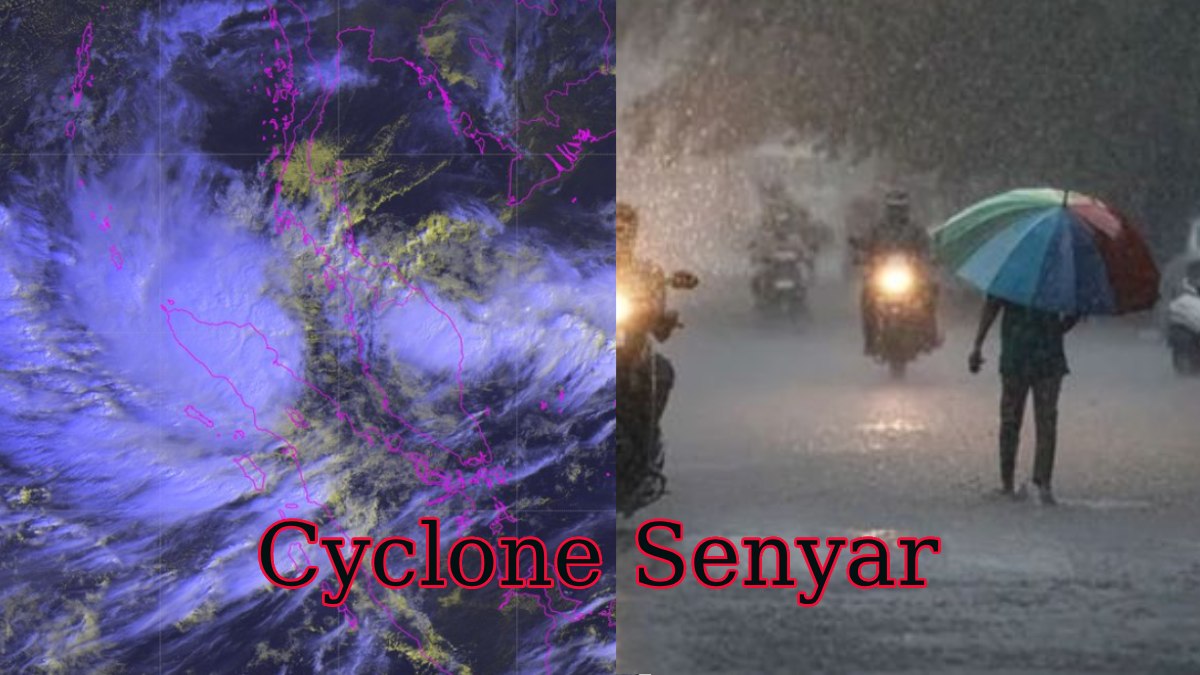
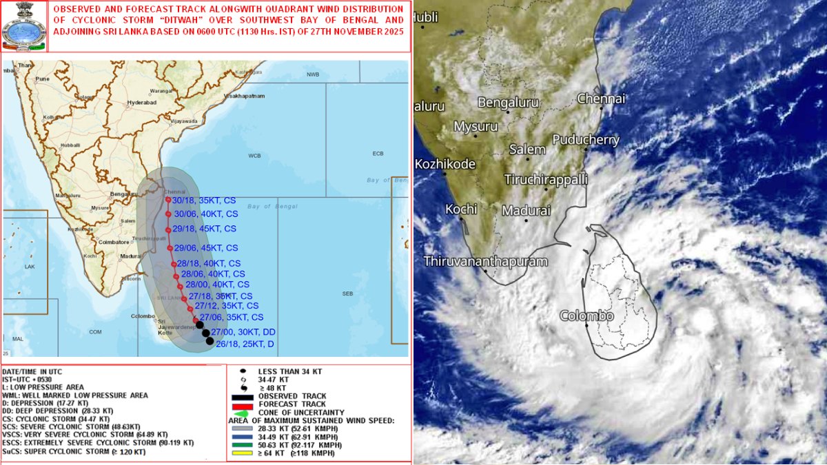
Coastal Tamil Nadu is bracing for a significant weather event as the India Meteorological Department (IMD) warns that a developing low-pressure area over the Bay of Bengal is highly likely to intensify into a cyclonic storm named 'Senyar' by November 27. The system's anticipated path suggests that it could cause heavy to very heavy rainfall across northern coastal districts, including Chennai, starting late this week.
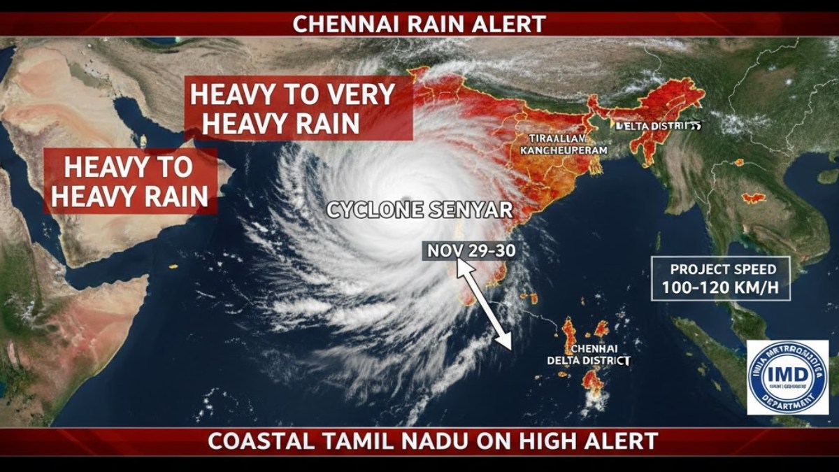
The low-pressure area, currently over the Strait of Malacca and the adjoining South Andaman Sea, is steadily moving west-northwestwards. The IMD expects it to first intensify into a depression over the southeast Bay of Bengal, and then further strengthen into a full-fledged cyclonic storm in the subsequent 48 hours. If it reaches cyclone strength, it will be named 'Senyar,' a name contributed by the United Arab Emirates meaning "Lion."
Heavy Rain Warning for Chennai and Northern Districts
While South Tamil Nadu has already been experiencing heavy to extremely heavy rainfall over the past 24 hours due to the intensifying Northeast Monsoon, the focus is now shifting to the central and northern coastal areas as the cyclonic system develops.
The IMD has issued alerts for the following periods and regions:
- November 28: Orange Alert (Very Heavy Rain) for delta districts including Thanjavur, Tiruvarur, and Nagapattinam.
- November 29: Orange Alert (Very Heavy Rain) is expected to cover seven northern coastal districts, including Chennai, Tiruvallur, Kancheepuram, Chengalpattu, Villupuram, Cuddalore, and Mayiladuthurai.
- November 30: Heavy rain warnings continue for the northern districts, with potential for waterlogging and traffic disruption in metropolitan areas like Chennai.
Weather models currently suggest the cyclonic storm may track close to the Chennai coast around November 29 and 30, though the exact trajectory and potential landfall location (between Tamil Nadu and Andhra Pradesh) remain uncertain and are subject to change as the system consolidates.
State Authorities on High Alert
Disaster management authorities across Tamil Nadu are on high alert, urging coastal residents to exercise extreme caution and closely monitor official advisories.
- School Closures: Several districts have already declared holidays for educational institutions due to the persistent heavy rainfall. Further decisions on closures for the upcoming days will be made based on the evolving IMD forecast.
- Fishermen Warning: Fishermen have been strictly advised not to venture into the southwest Bay of Bengal and surrounding waters until November 28, as sea conditions are expected to become highly turbulent with strong winds and rough seas.
- Preparedness: Residents in vulnerable coastal and low-lying areas have been asked to prepare for potential disruptions to power supply, transport, and essential services, and to avoid unnecessary travel during the intense rainfall periods.
The formation of Cyclone Senyar underscores the intense nature of the Northeast Monsoon this season, compelling state and central agencies to mobilize resources for quick response and mitigation efforts.


