Heavy rainfall and flash-flood events in Nepal frequently put Bihar in danger, because several of the major rivers through the Himalayan foothills eventually enter the state. In Nepal’s mountainous terrain, heavy rainfall causes heavy flow and large quantities of water could quickly travel downstream, creating the potential of flooding in northern Bihar.
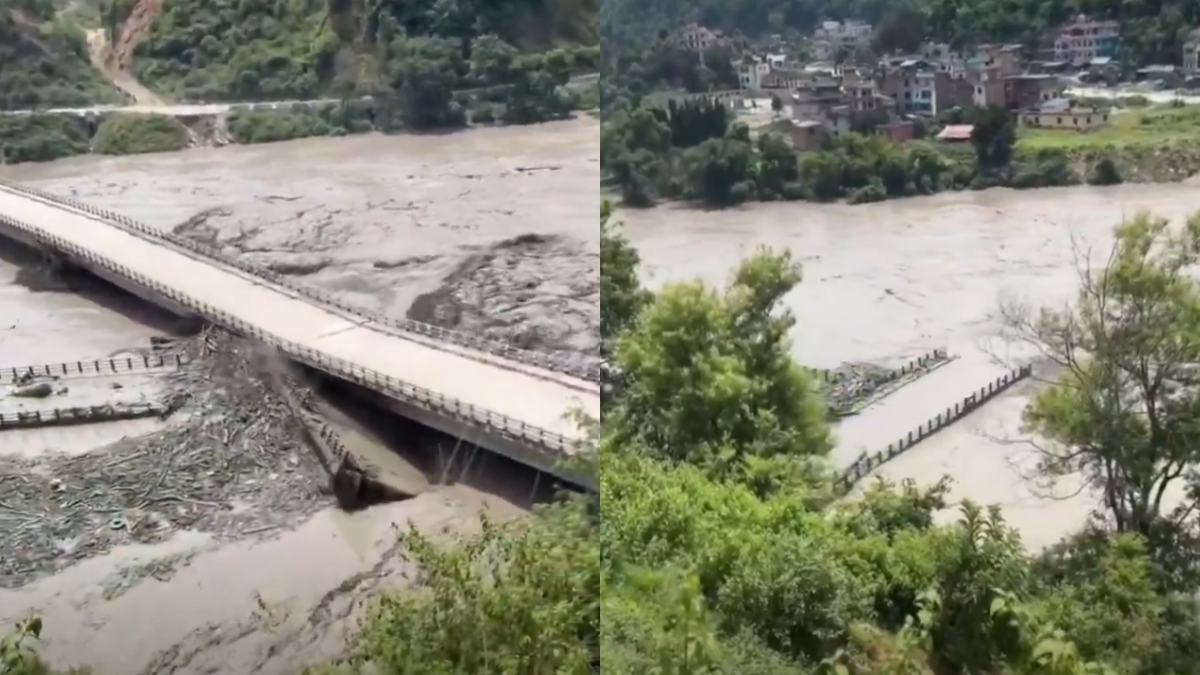
However, the extent of flooding in Bihar is not determined by Nepal’s rainfall alone. The location of rivers and barrage operations, local rainfall, soil conditions and water movement times have a significant impact on the flood.
One of the most important rivers in this context is the Narayani, or Gandak once it enters India. It originates in the Himalayas and passes through Nepal before going to Bihar. Since the river is vast and has a connection to the mountains, the river's water levels in the upper reaches can have consequences for the people downstream. But the river can also carry huge volumes of water through its channel and floodplain so that not every major rainfall event in Nepal automatically results in catastrophic flooding across Bihar.
The Narayani-Gandak system is particularly important. Nepal’s mountainous area allows for rainfall to produce fast runoff of the river to flow quickly in Nepal and the river flows into the plains of Bihar. As the river moves lower in elevation, the gradient of the river decreases and its behaviour changes. Water can spread over wider areas and the floodplain can temporarily accommodate part of the flow. This doesn’t eliminate flood risk, but it can affect how quickly the downstream impact starts to develop.
Another important factor is the location and operation of the Valmikinagar Barrage, also known as Gandak Barrage, near the India-Nepal border. The structure plays a crucial role in regulating and diverting water for irrigation and controlling flow in the Gandak system. During heavy rain, authorities monitor the river levels and discharge closely. Water releases and operations and other measures are also relevant to downstream conditions.
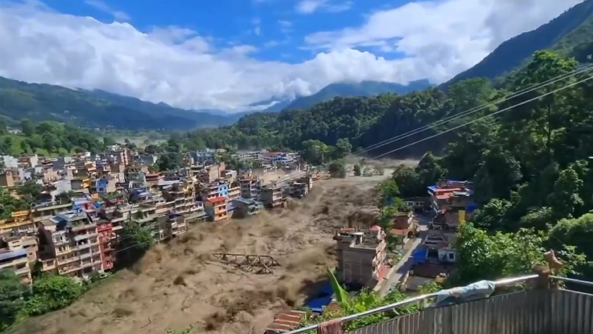
Bihar's flood situation is also affected by rainfall in the state itself. The rains in Bihar can be particularly heavy if heavy rains occur simultaneously with large amounts of water from Nepal. On the other hand, if the rainfall in Bihar is relatively moderate and river channels are available to carry water, then the downstream impact of rainfall in Nepal can be less severe than we expected.
The timing of the flood wave is also an issue. Water produced by extreme rainfall is not necessarily flowing anywhere at the same time. The river width, tributary flows, terrain and channel conditions determine how the flood wave moves downstream. The water levels and the risk are monitored and warnings are given by the authorities to ensure that they are made before the highest flows are reached by the flood wave to vulnerable places.
The Narayani-Gandak system is just one part of Bihar’s complex flood landscape. Other rivers such as Kosi, Bagmati, Kamla, Mahananda and Burhi Gandak also contribute to the state’s flood risk. Many of these rivers originate from Nepal or flow through Nepal before reaching the plains. So Bihar’s vulnerability is closely related to rainfall and river conditions across the India-Nepal border.
Flood protection measures, embankments and drainage infrastructure can also affect the outcome. Bihar has a large embankment network along several rivers to protect settlements and agricultural areas. When embankments are formed, direct inundation in protected areas can be less frequent, but it can be difficult if water levels increase or drainage is difficult.
The experience also highlights the need for cross-border information sharing. As major rivers flowing into Bihar originate upstream in Nepal, timely information about rainfall, river levels and potential flood waves is required. Forecasting systems and communication between government and community can help prevent water levels from rising to dangerous levels.
Finally, Bihar’s ability to avoid the worst effects of a major rainfall event in Nepal hinges on a number of factors working together. The Narayani River’s channel and floodplain features, the Gandak system’s management, local rainfall, the timing of incoming water and flood control infrastructure have all contributed to its eventual outcome.
The situation demonstrates why flood risk cannot be assessed simply by rainfall totals in Nepal. Although the heavy rainfall upstream is clearly a warning sign, the actual impact downstream depends on the whole river system. For Bihar, understanding the Narayani-Gandak basin and increasing real-time monitoring, forecasting and cross-border coordination is critical for reducing the risk of future Himalayan floods.