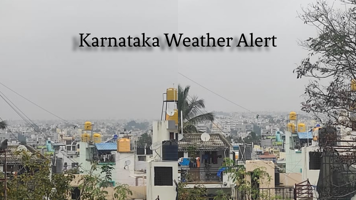
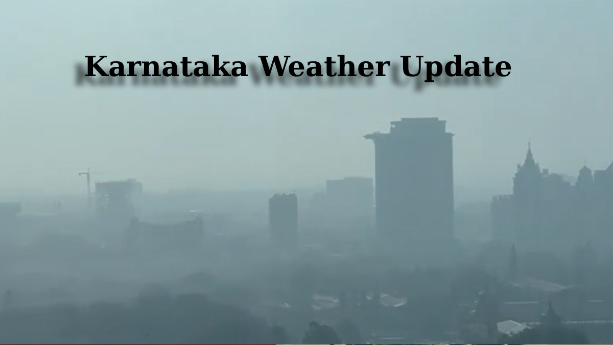
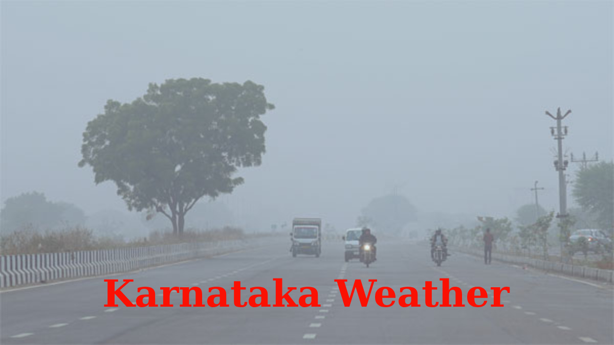
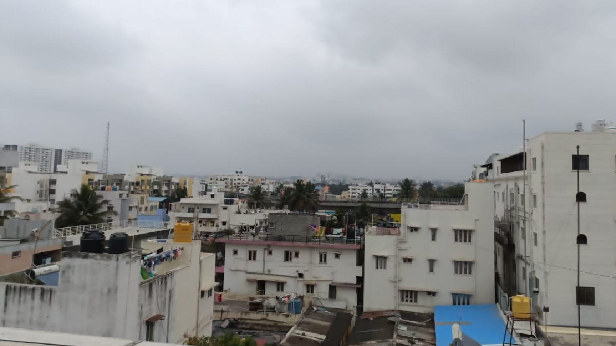
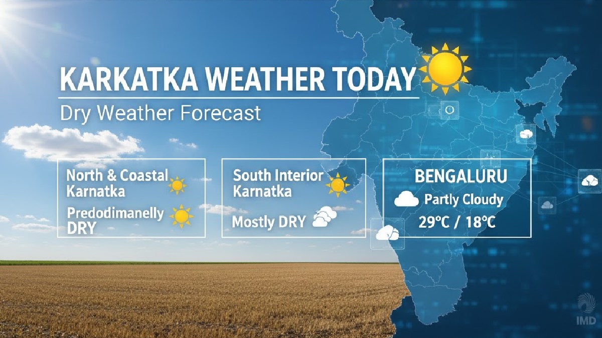
Karnataka, particularly the interior regions including Bengaluru, is witnessing a distinct shift in weather patterns as November draws to a close, marking the early onset of winter. The state is currently experiencing a combination of dense fog, persistent cold conditions, and scattered rainfall, leading to both early morning travel disruptions and a welcome dip in temperature.
Early Fog Disrupts Bengaluru Operations
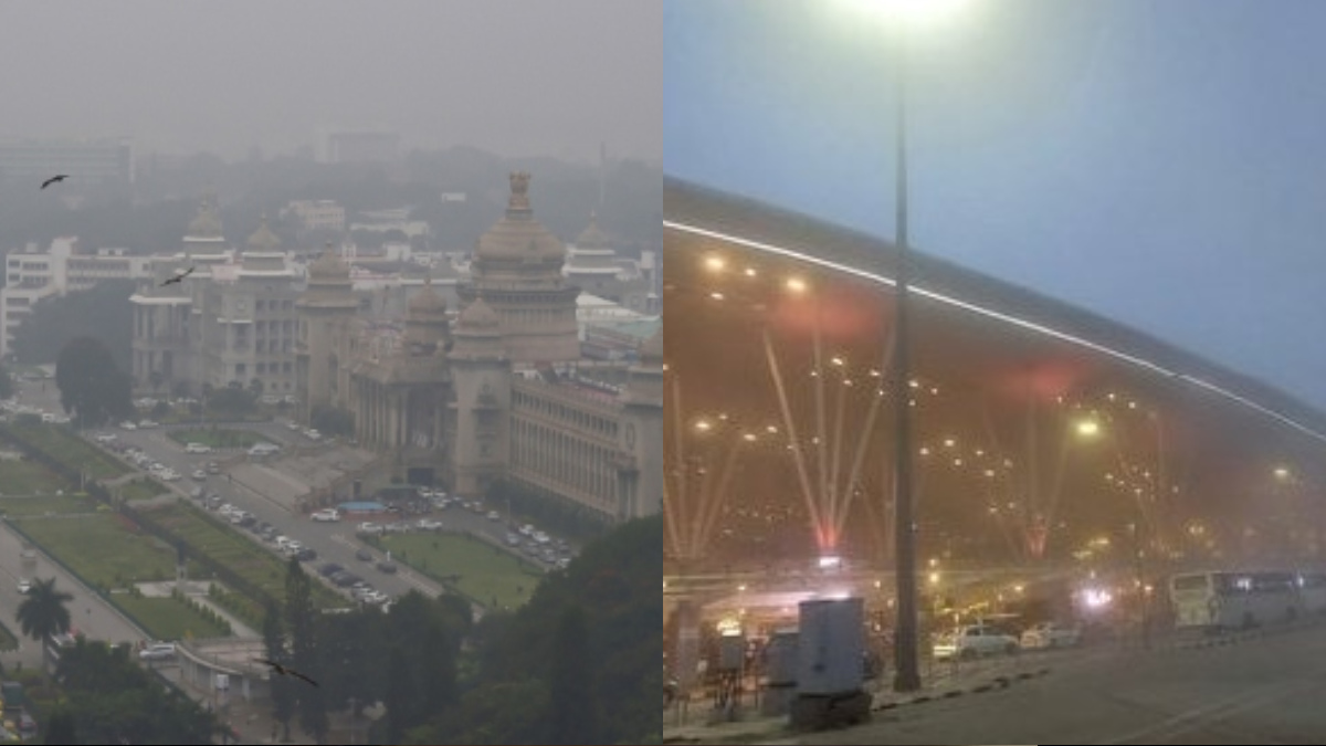
The most noticeable impact of the changing season has been the arrival of dense morning fog, especially in the state capital, Bengaluru.
- Airport Delays: On November 27th, Kempegowda International Airport (KIA) reported significant flight disruptions. Over 40 flights were delayed and some diverted due to reduced visibility, underscoring the severity of the "radiation fog" that typically affects the region between 3:00 am and 8:30 am from November to February.
- City Conditions: The city’s core areas are also waking up to misty conditions, creating a 'wintry' feel that has been welcomed by residents after the post-monsoon humidity.
Temperatures Plunge Below Normal
Cold wave-like conditions have gripped both North and South Interior Karnataka as minimum temperatures have dropped well below the seasonal norm in several districts.
-
North Interior Chill: Districts in North Interior Karnataka, such as Bidar, Belagavi, Kalaburagi, and Raichur, are experiencing the most intense cold, with minimum temperatures plummeting to the single digits or very low double digits (e.g., Bidar recorded a low of 9.5 C recently).
-
South Interior Cooldown: Bengaluru and surrounding South Interior Karnataka are seeing minimums hover between 16 C and 18 C, significantly cooler than usual, with daytime maximums remaining pleasant, around 25 C to 27 C.
Weather officials indicate that this early drop is linked to the receding monsoon, which allows northeasterly winds to dominate and cool the interiors.
Rainfall and Cyclonic Influence
Despite the general onset of winter, parts of Karnataka are still seeing residual rainfall due to cyclonic activity in the Bay of Bengal.
- Bay of Bengal Systems: While the severe effects are concentrated in Tamil Nadu and Andhra Pradesh, the periphery of these weather systems is bringing heavy to very heavy rainfall forecasts, particularly for parts of Coastal and South Interior Karnataka, around the end of November.
- Outlook: While the minimum temperatures may not change drastically over the immediate next few days due to the moisture-laden winds, the long-term forecast suggests a return to dry, sunny, but increasingly cold conditions as December begins. IMD warns that the cold wave is expected to intensify across the state, peaking in January.
Residents and travellers, particularly those using air travel during early morning hours, are advised to check forecasts and take necessary precautions against the cold.


